Log in
All resources
Create a design
167 Free Images of Old Maps Of Africa
koninklijke bibliotheek
description de l'universe
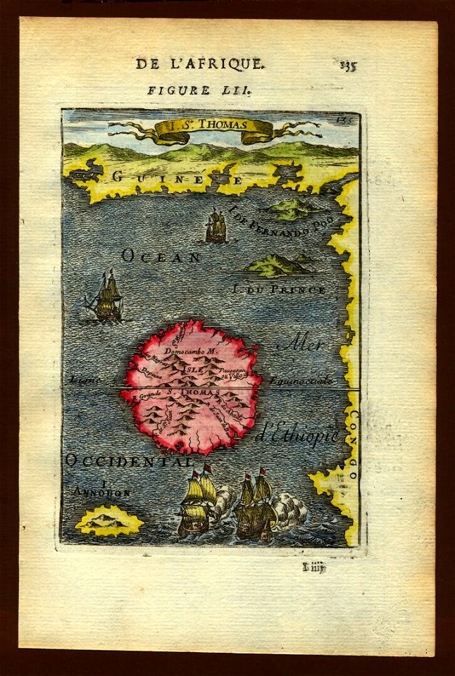
alain manesson mallet
maps by jakob van der schley
engraving on paper
jakob van der schley
a voyage to abyssinia, and travels into the interior of that country, executed under the orders of the british government in the years 1809 & 1810
john outhett
alexander macpherson (engraver)
rivington (publishers)
1660s maps of spain
1667 maps
1660s maps of spain
1667 maps
1660s maps of spain
1667 maps
1660s maps of spain
1667 maps
maps from the earth and its inhabitants, vol. xiii
ethnographic maps of africa
maps from the earth and its inhabitants, vol. xiii
maps of weather and climate of south africa
1660s maps of spain
1667 maps
the earth and its inhabitants, vol. xii: africa, vol. iii
canary islands in the 1890s
1800s maps of egypt
maps by john cary
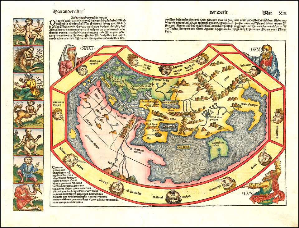
german renaissance,humanism
hartmann schedel
a voyage to abyssinia, and travels into the interior of that country, executed under the orders of the british government in the years 1809 & 1810
john outhett
maps of the dutch east india company - mozambique
1747 maps of africa
description de l'universe
old maps of the nile
a voyage to abyssinia, and travels into the interior of that country, executed under the orders of the british government in the years 1809 & 1810
john outhett
a voyage to abyssinia, and travels into the interior of that country, executed under the orders of the british government in the years 1809 & 1810
john outhett
old maps of the dutch east india company - africa
1705
1660s maps of spain
1667 maps
maps of the west-indische compagnie
1747 maps of africa
maps of the west-indische compagnie
1747 maps of africa
maps of the west-indische compagnie
1747 maps of africa
illustrations from five weeks in a balloon by riou and montaut
old maps of africa
a voyage to abyssinia, and travels into the interior of that country, executed under the orders of the british government in the years 1809 & 1810
john outhett
maps of the history of morocco
empire of morocco
description de l'universe
old maps of africa
description de l'universe
old maps of africa
english-language maps
maps by john cary
description de l'universe
old maps of africa
description de l'universe
old maps of africa
description de l'universe
old maps of africa
description de l'universe
old maps of africa
description de l'universe
old maps of africa
description de l'universe
old maps of africa
description de l'universe
old maps of africa
description de l'universe
old maps of africa
old maps of south africa
emil holub
illustrations from five weeks in a balloon by riou and montaut
old maps of africa
maps of the west-indische compagnie
old maps of gorée
wilhelm pleydenwurff
hartmann schedel
old maps of south africa
maps of transvaal
atlas van der hagen (volume 4)
atlas van der hagen
1727 maps of africa
1720s maps of egypt
1727 maps of africa
1720s maps of egypt
maps from the earth and its inhabitants, vol. xiii
maps of telegraph lines
old maps of south africa
emil holub
old maps of south africa
maps of the great trek
maps of the dutch east india company - south africa
1747 maps of africa
maps of the dutch east india company - south africa
1747 maps
maps of the west-indische compagnie
old maps of the dutch gold coast
maps of the dutch east india company - mauritius
1753 maps of africa
a voyage to abyssinia, and travels into the interior of that country, executed under the orders of the british government in the years 1809 & 1810
john outhett
1870s maps of egypt
1879 maps of africa
maps from the earth and its inhabitants, vol. x
old maps of africa
a class-book of modern geography (1898)
1890s maps of south africa
select views in india, drawn on the spot, in the years 1780, 1781, 1782, and 1783
british library asia, pacific and africa collections
maps in the rijksmuseum amsterdam
old maps of the ottoman empire
a voyage to abyssinia, and travels into the interior of that country, executed under the orders of the british government in the years 1809 & 1810
john outhett
a voyage to abyssinia, and travels into the interior of that country, executed under the orders of the british government in the years 1809 & 1810
john outhett
a voyage to abyssinia, and travels into the interior of that country, executed under the orders of the british government in the years 1809 & 1810
john outhett
navigantium atque itinerantium bibliotheca
1744 fleurons
maps by emanuel bowen
1744 fleurons
18th-century maps of antarctica
1741 maps
1650s maps of the americas
1658 maps
maps by joachim bormeester
1685 maps
prints in the royal collection of the united kingdom
mario cartaro
images released by british library images online, march 2014
british library asia, pacific and africa collections
prints by jan luyken in the rijksmuseum amsterdam
old maps of africa
satirical prints in the british museum
francis jukes
101 - 167 of 167
/ 2